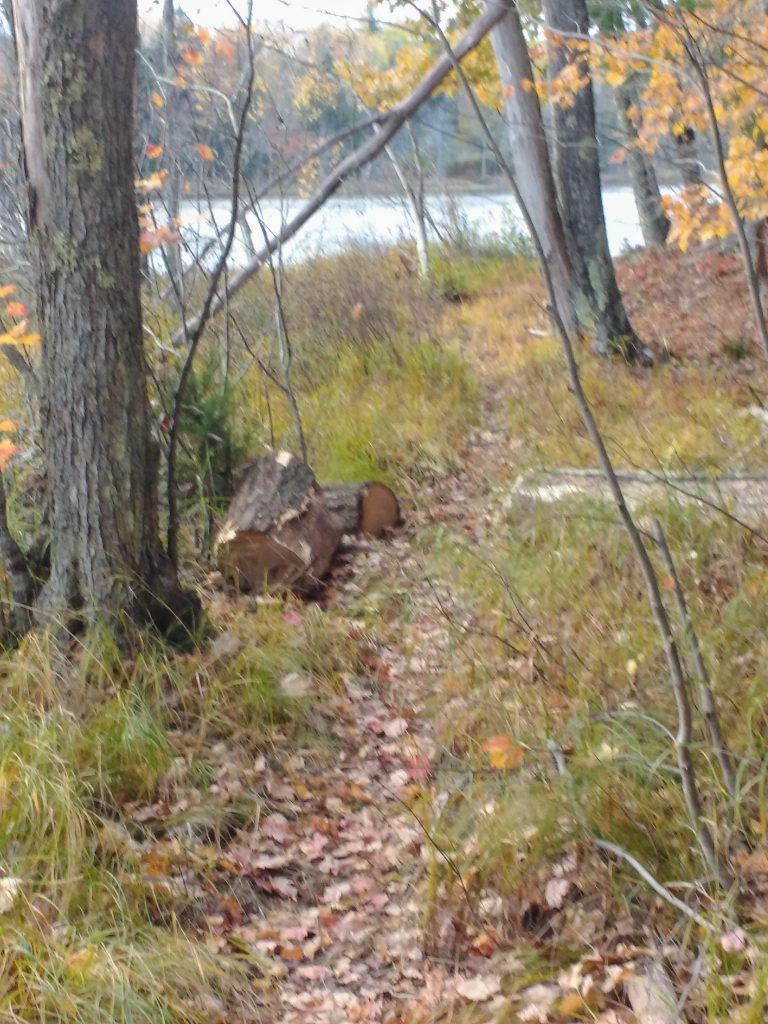
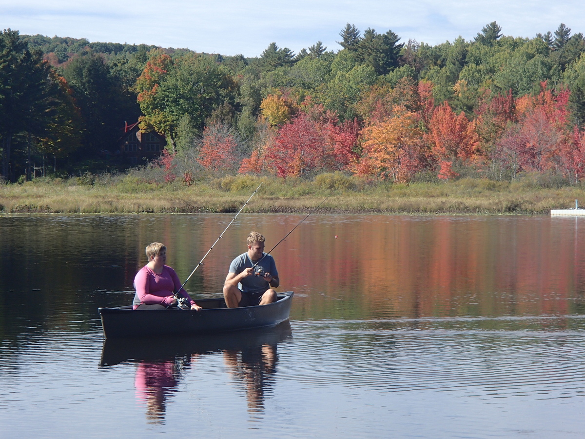
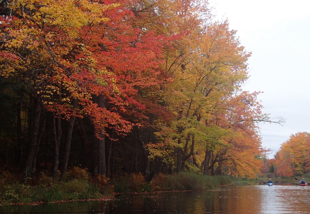
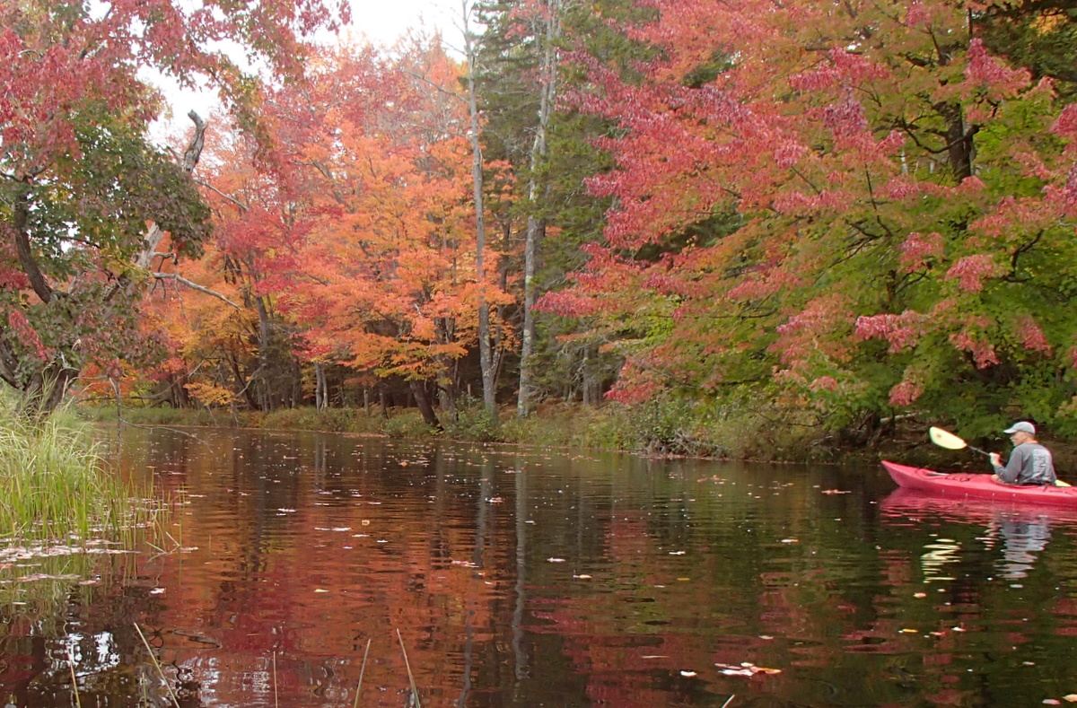
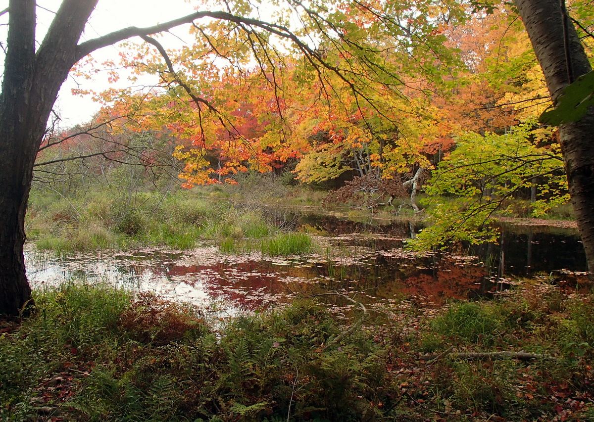
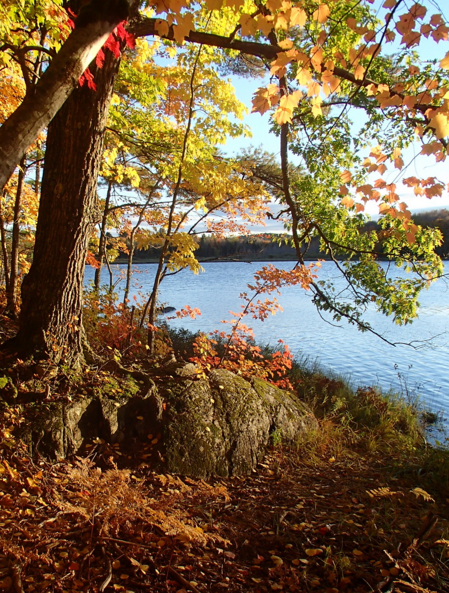
Early October
..
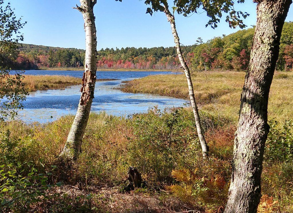
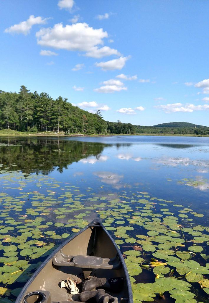
We’re working with the Town of Monroe and the Monroe Conservation Commission to develop several miles of multi-use (hiking, skiing, snowshoeing) trails on the town land on the east side of Basin Pond.
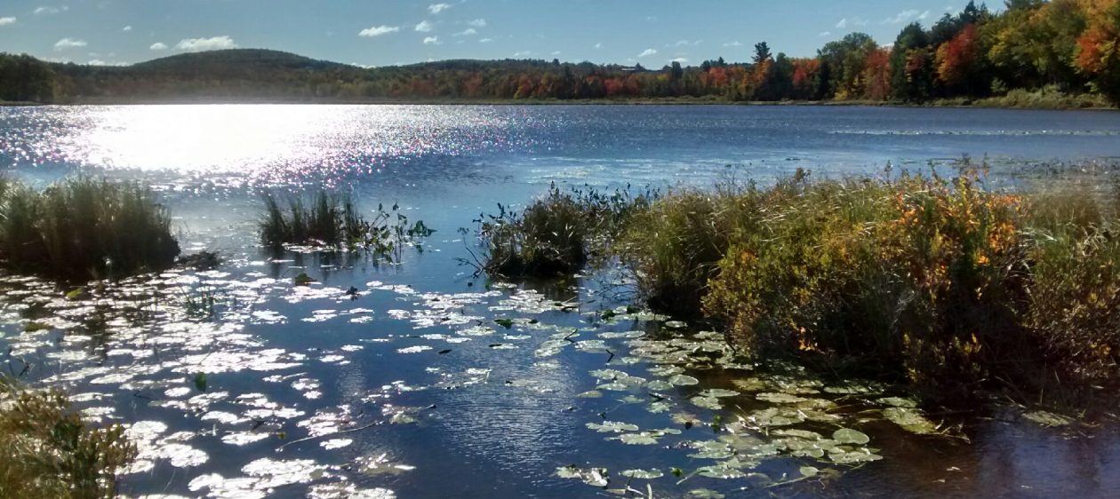
To access the trails, park along the Route #139 near the “Logger Road” (see map below). From there, we recommend walking 40 yards west on Route 139 to the trailhead (marked with green flagging tape) for the Hemlock Trail. Follow the Hemlock Trail to Basin Pond, then continue on the Shore Trail.
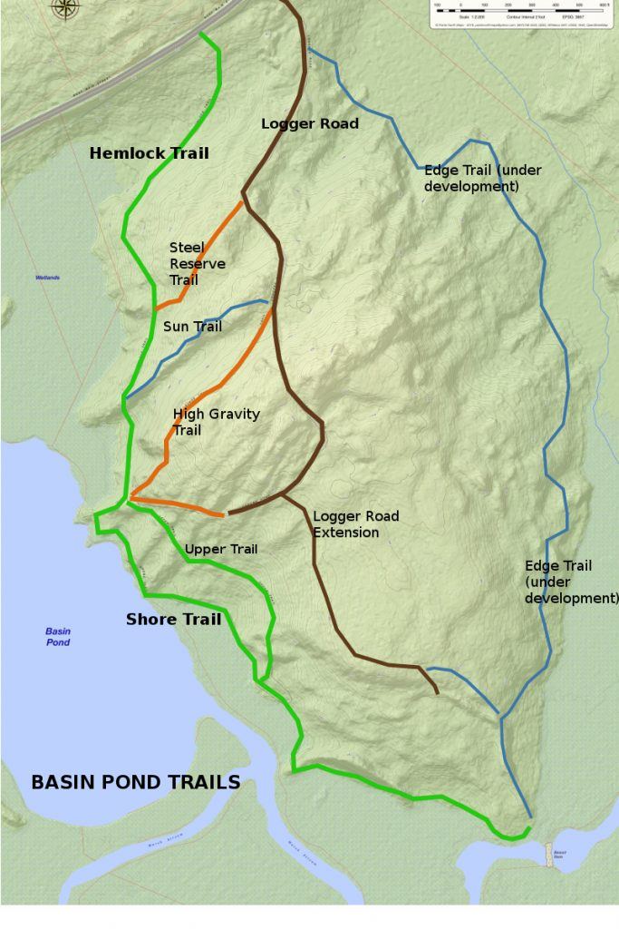
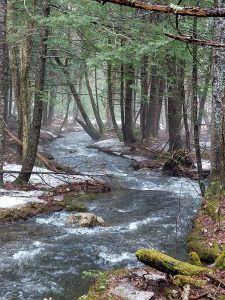
The Shore Trail leads southeast along the pond and then parallels the Marsh Stream. Once at the end of the Shore Trail (southernmost point on the map), you have an option of retracing your steps or heading uphill on the Edge Trail, then taking the Logger Road Extension and Logger Road back to Route 139. Round trip distance is about 2 miles.
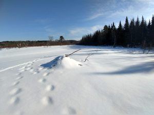
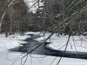
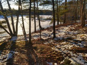


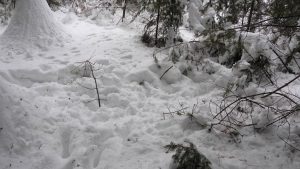
As we’ve been skiing and snowshoeing these last few weeks, we’ve been able to see solid evidence of deer: deer tracks! We’ve seen enough deer year round and plenty of droppings and certainly heard the gunshots in November, but tracks in the snow show us how close the deer have come, how many there are, and some of their trails.
As the snow gets deeper, it turns out the deer like our trails!
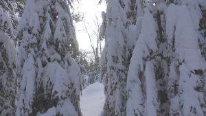
Not knowing which way to go, I follow the deer trail.
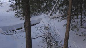
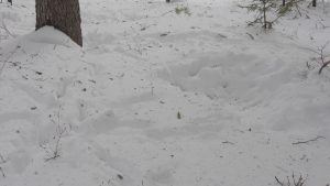
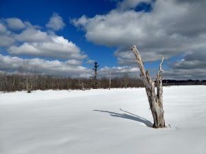
And after persisting on this trail
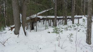
I came out into this opening and bedding area.